I arrived at Holtwood Recreation Area around 8:30.The 25K option for the Super Hike starts here. My plan was to go as far as I could go in 3 hours and turn around. I followed road for 2.5 miles from Holtwood to Lock 12. This route was clearly marked with Orange blazes. However, I think it may be an alternate route for the Conestoga Trail because what I experienced does not match the course description. It would be good if I did make a mistake here because that was too much road for hiking shoes. The return trip especially was torture.
 |
| Trail goes under and around this |
Except for this road portion the rest of the hike was so beautiful and a lot of fun. Once across the river I followed the Mason Dixon Trail. I had my M-D maps with me and used them twice when the blazes were few and far between. The trail here is less steep and less technical than the Conestoga on the east side of the river. The switchbacks going up to the power line break and back down the other side were challenging though. Very narrow and changing direction pretty sharply and quickly. I was grateful for the poles. The drop off was not the kind that paralyzes me but the poles gave me a bit more confidence. They were very useful on the lower portions near the water which were rocky and wet. My feet tried to slide out from under me twice but the poles kept me from landing on my hip one time and face planting the other.
The day was mostly overcast. Tropical Storm Bill is due to hit later in the day. The humidity was the highest for any hike I've done in over a year. Last summer was so mild. Today was not. My hiking pants were soaked when I got back to the car and it wasn't from rain or plowing through wet growth. I always bring extra socks and a shirt for the ride home. If this keeps up I should pack pants too!
I had planned to turn around at 3 hours. At 2.5 though I hit a thick grove of Rhododendren. They were plentiful all along trail and up the hill. The blooms were dying and mostly fallen off. But in this spot there were still quite a bit and the bees buzzing in my ear were getting on my nerves. Plus I lost the blazes. So I decided it was as good a time as any to turn around.
I had a good time today. The hike was fun, beautiful and I made it home before an thunderstorms. In July I'll start at Otter Creek and come south on the M-D Trail to see what that end of the course looks like.
Here's today's maps and stats. The map is boring (out and back) but the elevation is kinda impressive if I do say so myself. You can see how I slow down A LOT on the downs. Still managed a good overall average pace so I should be fine.
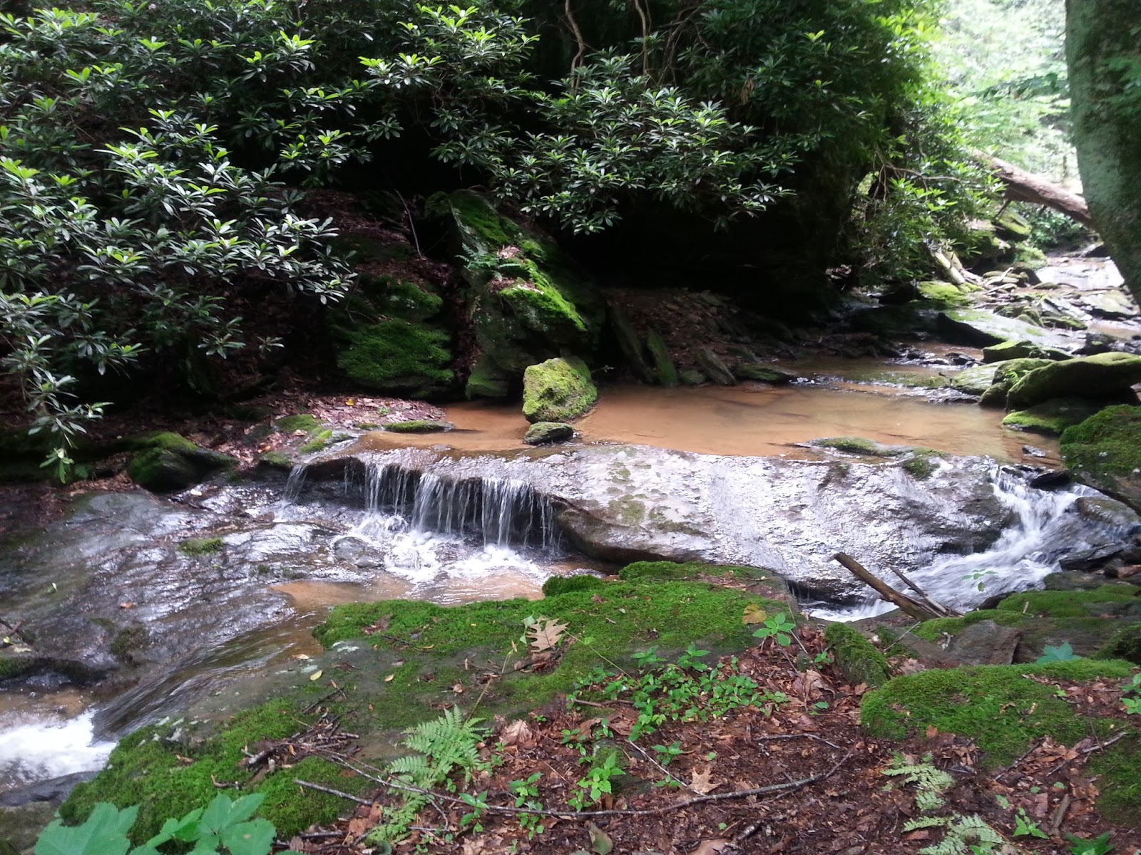
 |
| So peaceful. |
Keep smiling and keep moving
-Paula


No comments:
Post a Comment